ENGR2019THACH59309 ENGR
Design of Robotics Vehicle with Autonomous Navigation And Obstacle Avoidance
Type: Undergraduate
Author(s):
Bao Thach
Engineering
Sam Adams
Engineering
Ben Krause
Engineering
Irene Kwihangana
Engineering
Chris Prasai
Engineering
Advisor(s):
Morgan Kiani
Engineering
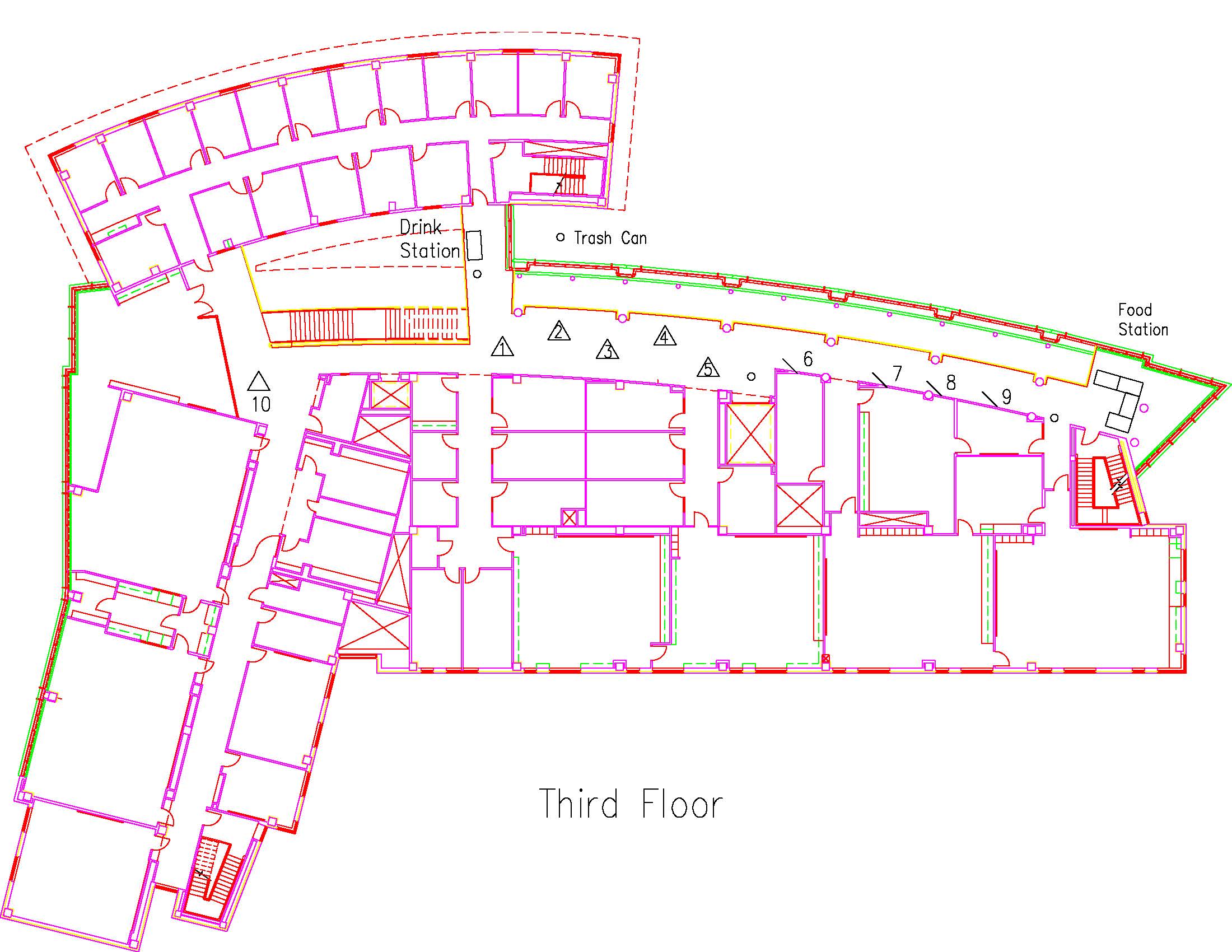
Location: Session: 2; 3rd Floor; Table Number: 4

View PresentationIn our project, a control-theory based algorithm would be employed to develop a small electric vehicle that can self-navigate through an unknown course to arrive at the desired location while avoiding obstacles and walls. This project is an extension of our successful project funded last year, in which we were able to operate a partially autonomous car to run around a location, and generate a virtual map. Our team expects to grant the car full autonomy like a self-driving car and let it travel through a relative abundance of places to create computer models of critical infrastructures without the help of humans. The success of this project will have a broad impact on society. First, this capability would be useful in self-driving cars, which allow drivers to spend their time more productively instead of driving to work or assist disabled people. Second, the car can generate a simulated model of places that help to analyze unknown locations. Finally, the project can surely create a platform for future TCU engineering students to learn about self-driving car technology and machine learning. This project is expected to succeed due to the achievements we gained from the previous project.
The algorithm will be written in Python/ROS, controlled by Raspberry Pi 3, and tested on a walled course constructed by us. It should be able to navigate a course, without having already driven through it. Another special feature is that the car will also precisely arrive at a pre-determined location.
ENGR2019WHITE19751 ENGR
Design of a Mechanical Clutch System for a Programmable Surface
Type: Undergraduate
Author(s):
Caydn White
Engineering
Advisor(s):
Stephen Weis
Engineering
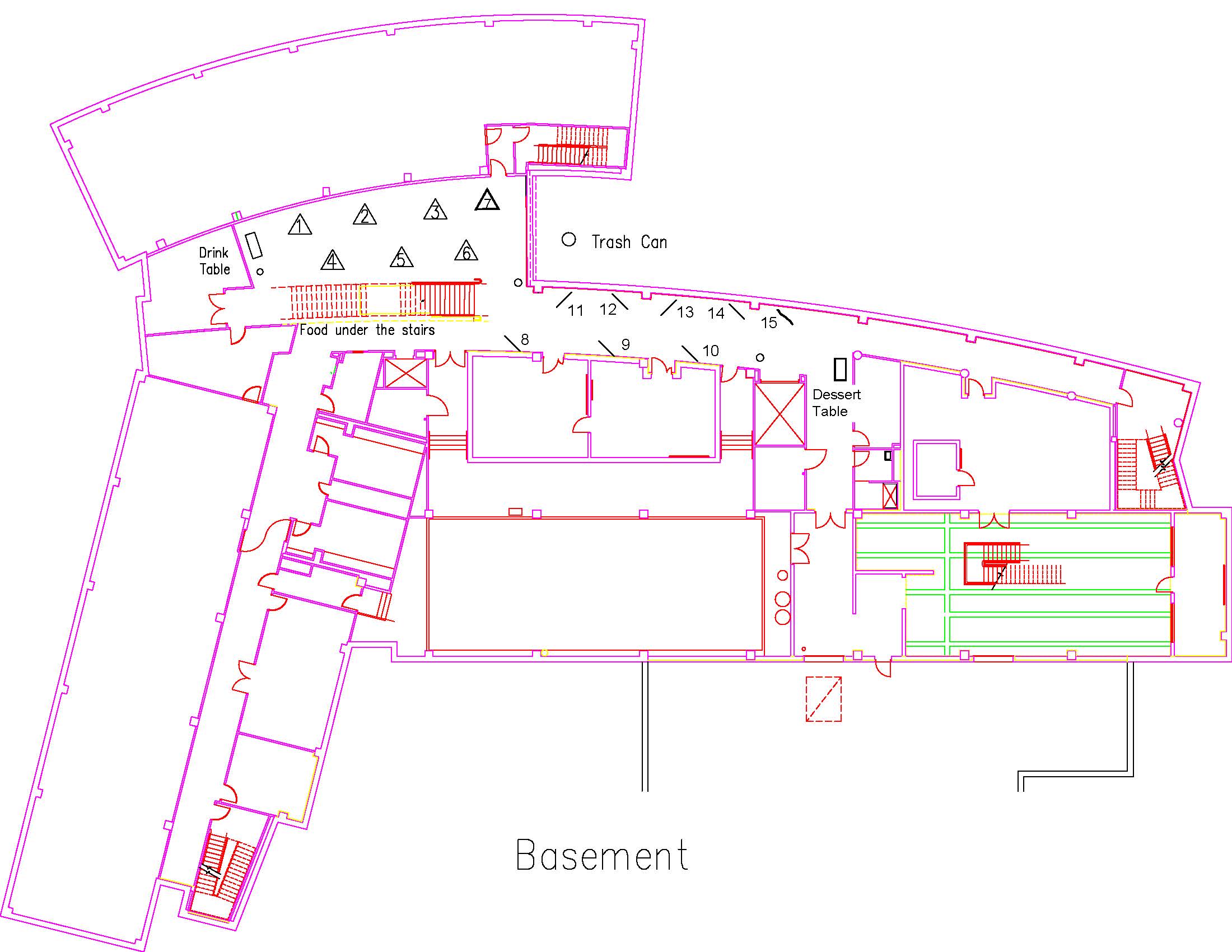
Location: Session: 1; Basement; Table Number: 3

View PresentationFlatfoot and cavus foot are postural issues that affect approximately 40% of people and can be corrected by means of orthotic inserts for shoes. A digitally reconfigurable mold is being developed as a tool for orthotists to visualize and fabricate orthotic inserts. The surface will be formed by an array of solenoid actuators controlled by the orthotist. The patient will stand on the reconfigurable surface while the orthotist evaluates the patient’s needs by manipulating the surface. Once the orthotist is satisfied with the array, the surface position will be held by a clutch system, so the patient can step off the surface and the surface positions can be recorded. This work describes my development of a prototype mechanical clutch for the digitally reconfigurable surface. The result of this project is a proof-of-concept design of an array of twenty-five physical clutch points which may be individually addressed by means of servo motors controlled by an Arduino microcontroller. With the development of this prototype, it is believed that such a control interface could be implemented on a system large enough for an adult human to stand on. This proof-of-concept is a small step in a larger project of developing a full-scale reconfigurable surface by which an orthotist could create posture correcting devices.
ENSC2019BARBARA55254 ENSC
Case Study of Urban Heat Islands in Fort Worth, Texas
Type: Undergraduate
Author(s):
Makenna Barbara
Environmental Sciences
Advisor(s):
Becky Johnson
Environmental Sciences
Becky Bittle
Engineering
Tamie Morgan
Geological Sciences
Location: Session: 1; Basement; Table Number: 4

View PresentationUrban Heat Islands (UHI) describe a phenomenon of increasing ambient temperature in densely built areas of cities as compared to rural areas. Impervious cover, ubiquitous in urban areas, appears to absorb solar radiation and reemit that radiation as heat. Urbanization and UHIs have impacts that range from local to global scales and can be found in cities of all sizes and climatic regions (Fernando 2013). This study focused on Tarrant County, Texas and analyzed changes in impervious surface cover and average monthly temperatures at four different NOAA weather monitoring stations over approximately 60 years in a search for urban heat island effect. Temperature analysis indicates an increase in temperature over the 60-year period. This study aims to determine whether that temperature increase is due to UHI.
ENSC2019DUCHARME26150 ENSC
A Changing Urban Ecosystem: Seattle, Washington
Type: Undergraduate
Author(s):
Claire Ducharme
Geological Sciences
Advisor(s):
Tamie Morgan
Geological Sciences
Location: Session: 1; Basement; Table Number: 3

View PresentationThe Urban Heat Island effect, or UHI, describes a phenomena involving heighted temperature indices in metropolitan areas when compared to surrounding rural landscapes. An increasingly relevant area of study following the advent of global warming, today, the associated “infernos” plaguing urban landscapes across the globe have the capacity to seep beyond concrete jungle walls, to reap havoc on once lush and vibrant vegetation and ecosystems. The following analysis combines an understanding of the Urban Heat Island effect with Remote Sensing technologies and Landsat Aerial Imagery to uncover the impact of urbanization in Seattle, Washington. With an emphasis on illustrating change over time, historical data surrounding imaging and climate trends further support this GIS analysis of vegetation in Seattle.
ENSC2019HINTON16070 ENSC
Water Level Analysis of Lake Mead
Type: Undergraduate
Author(s):
Reed Hinton
Environmental Sciences
Advisor(s):
Tamie Morgan
Geological Sciences
Location: Session: 1; Basement; Table Number: 9

(Presentation is private)Water resources are critical to areas experiencing urbanization and a rapidly increasing population. The depletion of these resources due to either human usage or environmental factors has the potential to lead to water scarcity in surrounding areas. A GIS analysis was conducted on Lake Mead near Las Vegas to assess the change in water level over time.
ENSC2019LAM12347 ENSC
Converting Spent Coffee Grounds into Carbon-Based Materials For Water Treatment
Type: Undergraduate
Author(s):
Amy Lam
Environmental Sciences
Olivia Jones
Environmental Sciences
Todd Longbottom
Geological Sciences
Advisor(s):
Omar Harvey
Geological Sciences
Location: Session: 1; 3rd Floor; Table Number: 8

(Presentation is private)Coffee is one of the most popular drinks in the world. Americans generate on average 12600 tons (around a thousand school buses) of coffee grounds per day – which is most often landfilled. This typical waste stream represents a potential feedstock for developing carbon-based materials with applications across numerous disciplines. For example, initial research in Dr. Harvey’s Lab on spent coffee grounds, received from Avoca Coffee Roasters in Fort Worth, has shown that charring the grounds at 350 ℃ improved its Lead removal abilities. Our research will build upon this previous research by conducting more controlled studies to evaluate those earlier results and determine the optimal charring temperature for producing charcoals for water filtration applications. Since we had no control over how the previously donated coffee grounds were brewed by Avoca Coffee Roasters, we decided to design an experiment that will give us more control over the brewing process. The coffee beans were obtained from Avoca Coffee Roasters and brewed according to the Golden Ratio. We will also study the surface properties of charred coffee grounds produced at 350 ℃, 450 ℃, and 650 ℃ from Ethiopian and Mexican coffee grounds.
ENSC2019NIYITANGAMANZI41060 ENSC
An analysis of factors that influence major crops productivity in Rwanda
Type: Undergraduate
Author(s):
Aurore Niyitanga Manzi
Environmental Sciences
Advisor(s):
Tamie Morgan & Dr. Omar Harvey
Environmental Sciences
Location: Session: 2; 3rd Floor; Table Number: 5

View PresentationA GIS and remote sensing analysis of Rwanda was conducted to analyze changes in land cover, urbanization, and croplands over time. Data mapping changes in major crops productivity throughout time was also analyzed and combined with information on elevation and soil conditions. All factors were analyzed to identify the location and suitability of soils for each major crop.
ENSC2019PORTILLO33835 ENSC
Investigating the Longterm Effects of Urbanization on Soil Properties in Fort Worth, Tx
Type: Undergraduate
Author(s):
Jacob Portillo
Environmental Sciences
Kelby Caplinger
Environmental Sciences
Michaela Donahoo
Geological Sciences
Dorothy Gilliam
Environmental Sciences
Ella Hellessey
Environmental Sciences
Wyly Lincoln
Environmental Sciences
Aurore Manzi
Environmental Sciences
Advisor(s):
Omar Harvey
Geological Sciences
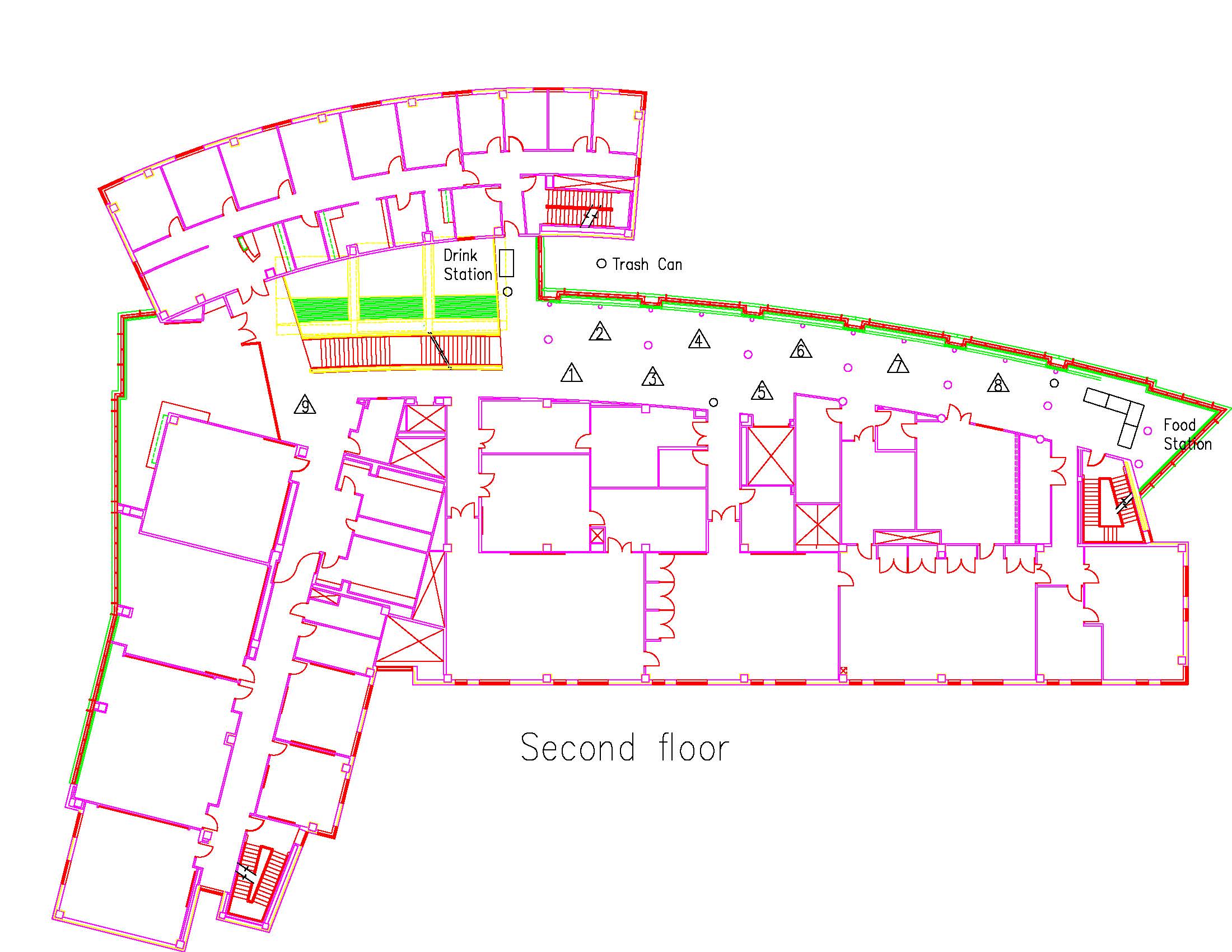
Location: Session: 2; 2nd Floor; Table Number: 8

View PresentationThe long term effects of urbanization on soil properties in Fort Worth, Texas remain largely unknown, making future predictions of soil health and the development of environmentally beneficial practices difficult. The rapid expansion of the Fort Worth Metroplex begs the question of how can cities best prepare for or mitigate the effects of disturbance due to construction and constant lawn care. In order to understand how soil properties change with time after an initial disturbance, many different methods were implemented to quantify and qualify the different stages of post-urbanized recovery in order to find the trend the soils at the houses of varying age ranges took relative to the natural area. Overall, the soil properties trended towards recovery and the deviation from the natural park area decreased as the houses increased with age. The only variable that did not follow this trend was amount of organic matter at each site, which was determined to be affected uniquely by lawn care and the continued use and accumulation of nutrients from fertilizer applications. These results can be used to identify and understand the effects caused by future construction projects and possibly be used to establish more sustainable development in the DFW area.
GEOL2019PEREZ40118 GEOL
Area Growth of Fort Worth, Texas in Zip Codes 76131, 76177, 76137, and 76244
Type: Undergraduate
Author(s):
Dylan Perez
Geological Sciences
Advisor(s):
Tamie Morgan
Geological Sciences
Location: Session: 2; 3rd Floor; Table Number: 1

View PresentationOver the last 20 years significant growth has occurred in the northern part of Fort Worth, Texas defined by the zip codes 76131, 76137, 76177, and 76244. Using GIS analysis, this project measured the amount of open area lost and the growth of residential and commercial areas.
GEOL2019TOTZ51136 GEOL
A GIS Analysis of Crustal Stress Directions and Orientation of Horizontal Drilling in the Permian Basin in West Texas
Type: Undergraduate
Author(s):
Samuel Totz
Geological Sciences
Advisor(s):
Tamie Morgan
Geological Sciences
Helge Alsleben
Geological Sciences
Location: Session: 1; 2nd Floor; Table Number: 6

(Presentation is private)The World Stress Map (WSM) is a global compilation of information on the stress field of the present-day earth crust and is maintained since 2009 at the Helmholtz Center Potsdam GFZ German Research Center for Geosciences. This database uses data from earthquake focal mechanisms, well bore breakouts, drilling induced fractures, and geologic data to generate a map of the stresses in the Earth. Using GIS, the data was mapped and examined for the Permian Basin area of West Texas which is currently one of the largest and most active oil fields in the United States. This database in conjunction with data collected on the direction of horizontal well bores was examined to determine if or how stress directions in the Earth influenced the drilling bore direction. This data was also used to see if there is a correlation between stress direction and a company’s decision to place a well in a certain location or orientation.